The Misleading Promise of a Country Lane Shortcut
A country lane shortcut can save distance on paper but feel awkward on foot. Learn to judge its setting, turning points and return before setting out.
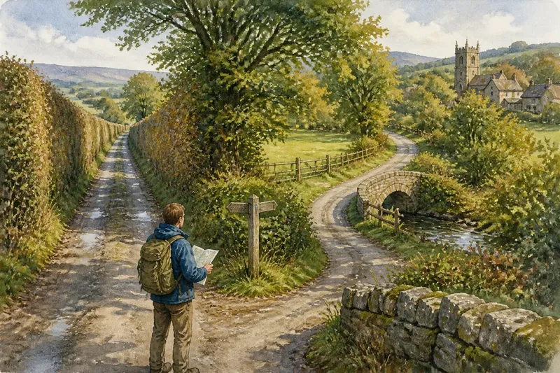
A country lane shortcut can save distance on a map and still make a walk feel like a chore. A straight stretch beside a high hedge, a noisy road or a row of working entrances may offer little reason to keep going. The useful question is not simply how direct the lane is, but what its route gives the walk.
A shortcut should connect places, not merely shorten the line
A map makes distance easy to compare and the feel of a route hard to see. A lane drawn as a neat diagonal may cut out a bend while taking you away from the stream, village green or wooded edge that would give the walk a sense of place. Sometimes the longer line is the more coherent one: it leads somewhere you want to be, rather than just getting you there sooner.
Think of a lane as a thread sewn through a patchwork field. Its usefulness depends on what it joins and how it sits within the surrounding pattern. A junction by a village, a bridge over a beck or a view towards a church tower can make a modest curve feel purposeful.
The lane’s setting matters more than its apparent efficiency
Country lanes serve ordinary rural life. They may lead to cottages, farm buildings, field entrances or a working yard. A quiet stretch can become busy when a tractor or delivery vehicle comes through, and a narrow verge may leave little room to step aside. These details shape the walk even when the lane is short.
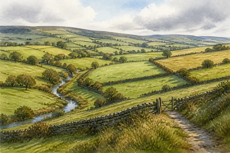
Look at what borders the route. Mature trees can give shelter and changing views; tall hedges on both sides can make a walk feel enclosed. An open stretch may be appealing in mild weather but feel exposed under a strong wind. Entrances, bends and changes in the surrounding land offer more useful clues than the line’s neatness.
The lane also changes with the season. Fallen leaves can hide ruts, a low stretch beside a ditch may hold water after rain, and a bare verge offers little shade on a bright day. These are not reasons to rule out a route in advance. They are reminders that the same lane can feel quite different on another day.
Choose a return route for its character, not just its shape
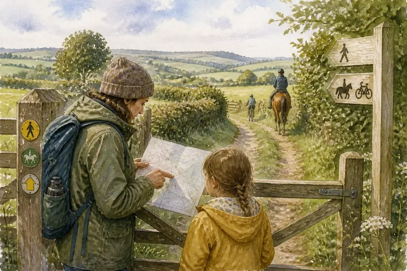
A loop is not automatically better than an out-and-back. A return along a different lane can add variety, but only if the connecting route is suitable and its public access is clear. A mapped line through a farmyard or across a field is not, by itself, permission to walk there. Consult local rights-of-way information and heed signs or temporary restrictions; if access remains uncertain, choose a route with a clear public way back.
An out-and-back can suit a lane with a distinct destination, such as a bridge or a village edge. It also avoids making an uncertain connection part of the plan. The trade-off is that you will see the same stretch twice, so consider whether the return view and walking conditions will still be agreeable.
Give the walk a natural point at which to pause and decide. A bridge, a junction or a familiar landmark can serve, provided stopping there is safe and does not obstruct traffic. This is less about planning an escape than deciding whether the lane’s main attraction is enough to make the return worthwhile.
How do you judge a country lane shortcut before choosing it?
Does the lane have a destination that makes the walk worthwhile?
Look for a place or feature that gives the route a purpose, such as a village edge, a bridge or a view across a valley. If the only appeal is a shorter line, compare it with a route that offers more varied surroundings.
What can a map tell you about the lane’s character?
A map can show bends, nearby streams, slopes and connections to other roads, but it cannot fully convey traffic, shelter or surface. Use those map clues to form a picture, then treat uncertain details as reasons to keep the route flexible.
Is a mapped connection open to walkers?
Roads and tracks on a general map do not always indicate public access. Check the local rights-of-way map and signs; if the status is still unclear, do not rely on that connection for the return.
When is an out-and-back the better choice?
Choose one when a lane has a clear endpoint but no appealing, clearly accessible loop. It is a sound option if you are happy to retrace the same scenery and the lane remains suitable in both directions.
Work through the trade-off before committing
Say you are considering two routes on a local map. The direct lane reaches a distant bridge, but its last stretch runs beside a high hedge and offers no clear alternative connection. A curving lane passes a wooded bend and joins another route whose public status is confirmed on the local rights-of-way map.
First, compare what each route offers beyond distance: the direct lane’s destination is the bridge, while the curved lane has the wooded bend and a different return. Next, check the local map rather than assuming every drawn connection is open. Then consider the return itself: the direct route means retracing the exposed stretch, while the confirmed connection allows a loop. If the trees and varied return matter more than reaching the bridge, the curved route is the better fit; if the bridge is the purpose of the walk, an out-and-back remains a clear alternative. These are invented route details, not a report of a real walk.
Before choosing, check each point and let the result guide the decision:
- Observe whether the lane leads to a feature you want to visit; if it does, choose it for that destination, then decide whether to return the same way or use a confirmed connection, and if it does not, favour a route with a clearer purpose.
- Observe whether hedges, open fields or trees dominate the route; if that setting suits the expected conditions, keep it in consideration, and if it does not, choose a lane with more shelter or a less enclosed feel.
- Observe whether the map shows a bend, stream crossing or slope along the way; if those features add interest or explain a difficult approach, account for them in the plan, and if the terrain looks awkward, select a gentler alternative.
- Observe whether entrances or bends could bring traffic close to the walking space; if the verge appears narrow, favour a route with more room, and if there is adequate space, retain the lane as an option while staying alert to vehicles.
- Observe whether rain, leaves or exposure may change the surface and comfort; if conditions are likely to make the lane unpleasant, choose another route or postpone the walk, and if they seem suitable, keep the lane in the plan.
- Observe whether a proposed return depends on a track or crossing with uncertain access; if its public status is unclear, do not use it as the planned connection, and if local rights-of-way information confirms access, compare the loop with the out-and-back.
A country lane shortcut is worth choosing when its destination, setting and return suit the walk you want. The shortest line may still be the right one, but a bend that leads to a better view or a more satisfying way home can be worth keeping.