Why Field Boundaries Rarely Make a Neat Grid
Why field boundaries rarely make a neat grid: read slopes, streams and older divisions to understand why field shapes vary across the countryside.
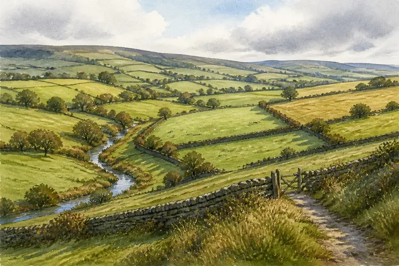
Field boundaries rarely make a neat grid because they respond to the ground as well as to decisions about access and use. On an Ordnance Survey map, a line may bend around a hollow, follow a ridge or preserve a division that predates the fields around it.
From a public path, the same pattern appears as hedges, fences, banks, ditches and changes in the land’s surface. Comparing the map with the view can suggest what a boundary accommodates, though no single shape explains its history by itself.
Slopes often shape field boundaries
On a hillside, a boundary may run along a contour rather than straight up or down the slope. That can leave longer, more workable ground across the hill and avoid dividing it into steep, awkward parcels.
Look for curved lines that echo the contours on a map. A hedge or wall might follow a shoulder of higher ground, skirt a steep face or turn around a hollow. It need not remain level throughout: the terrain changes, and later alterations may have joined once separate parcels.
From a path, the slope may be easier to read than the map. A boundary that seems to meander could follow a change in gradient, separating flatter pasture from steeper ground. A raised bank beneath a hedge can make the line more visible against the field surface.
Streams and drains leave traces in field shapes
Water gathers in low places, and field edges often acknowledge that. A boundary may follow a stream, ditch or wet margin because the channel already marks a division and carries water away from adjoining land. In flatter country, a drainage ditch may create a straight edge; where a stream bends, nearby fields may inherit its curves.
Compare blue watercourses on the map with the nearest field edges. If several boundaries converge towards a valley, the slope of the catchment may have shaped them as well as the stream. Beside the water, rough grass, reeds or scrub can mark ground that is wetter than the land beyond.
Not every wet boundary is visible in every season. Vegetation may conceal a shallow ditch, while a small stream may show clearly on the map but be hard to see from a distant path. Treat the map and the landscape as complementary clues.
Older divisions can persist within larger fields
Later farming may change the size or use of fields without removing every earlier division. A hedge, bank or wall can mark the edge of a former parcel even after nearby fields have been combined. Elsewhere, a line may preserve a route or the division between land used for different purposes.
Narrow, irregular fields, small enclosures near a settlement and boundaries meeting at uneven angles can suggest an older pattern, but none proves a particular date or history on its own. A map shows a boundary’s form, not when it was made. Local records and specialist landscape guidance are needed for firmer historical claims.
Notice whether a boundary continues beyond the present field. It may align with a track, a parish edge or another hedge farther away. That continuity suggests the line belongs to a wider pattern rather than being an isolated choice for the current field.
Access and land use explain awkward corners
Fields are not always tidy units because their uses and access needs differ. A small enclosure near a farmstead may suit livestock needing regular attention, while a larger field farther away may be easier to manage as pasture or crops. A boundary can also turn around a pond, building, steep bank or patch of ground that is difficult to cultivate.
Say you are looking at an invented sloping field above a narrow stream. The upper ground is broad and dry, while the lower edge stays wet. An existing hedge follows the contour, and a short fence separates the damp corner. On a map, the parcel looks awkward; from a public path, the change in vegetation and ground moisture offers a plausible reason for keeping that corner apart. It remains an interpretation, not proof of who made the boundary or when.
Access matters too. A gate may sit where a lane meets firm ground rather than at the midpoint of a boundary. Tracks and entrances can make an irregular field’s arrangement understandable when viewed alongside its shape.
Read field boundaries by comparing map clues
Start with the broad shape, then compare it with water, contours, settlements and access. Use each observation to decide what to examine next; several clues that agree can support a plausible explanation, but they do not settle a boundary’s age or history.
- Contours: If a long boundary runs roughly along a slope, check whether it follows a level shoulder; if it does, consider the contour as an explanation, but if it crosses steep ground, look for another clue such as access or a watercourse.
- Streams and ditches: If a field edge follows a visible channel, consider water or drainage as a factor; if no channel appears, compare the boundary with contours and wet vegetation instead.
- Repeated alignments: If several hedges point in the same direction, treat them as a possible wider pattern; if their directions vary, examine each line against the local terrain rather than assuming one shared origin.
- Settlement edges: If small, closely divided fields cluster near houses, consider whether they served different uses from larger fields farther out; if the pattern continues beyond the settlement, check tracks and landform before drawing that distinction.
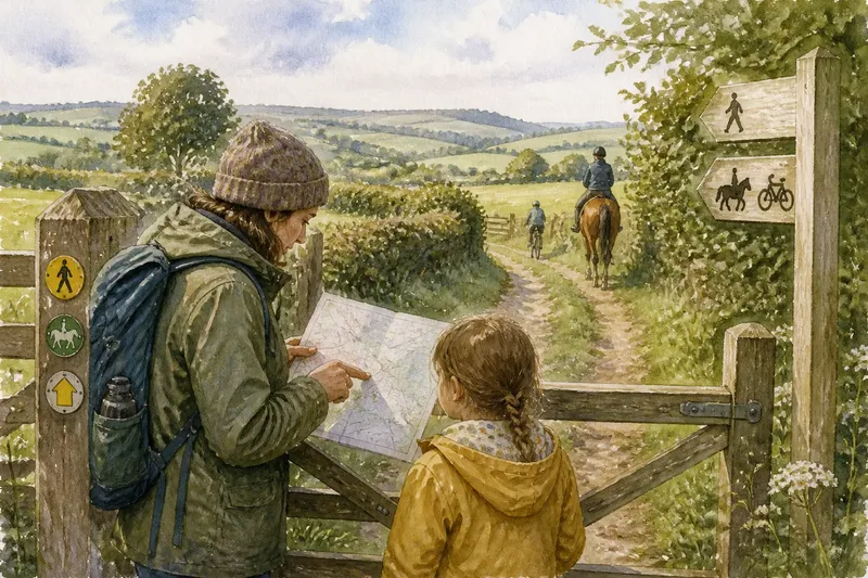
- Paths and entrances: If a track or gate meets an irregular parcel, consider whether access helps explain its shape; if no route is visible, do not assume the field was inaccessible—compare the map with the view from a public path.
- Map symbols and the view: If a mapped hedge, wall or ditch is visible on the ground, use it as a point of comparison; if it is missing or obscured, treat the map as a record of mapped features rather than a current inventory.
These clues do not assign every field to one period or farming practice. A straight line can have an old origin, and a crooked one can be relatively recent. Ask what feature the boundary might respond to before trying to date it.
Observe boundaries safely from public paths
Stay on the path and look across a boundary rather than entering fields or touching fences. A hedge may have a ditch at its foot; a stone wall may follow a ridge; and a line of trees may trace a stream. Soil colour, grass growth and vegetation can also suggest wetter ground, although weather and land management affect what is visible.
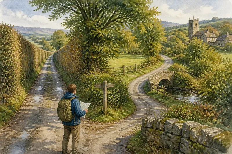
Note where a boundary begins, ends or changes direction. Does it meet a stream, join another hedge at a high point or turn near a gate? Compare that observation with a map to consider whether the line follows a landform, an access route or a feature that is hard to see from the path.
Boundaries change. A gap in a hedge could mark a gate, a removed section or sparse growth. Do not treat one gap as evidence of a historic route or former field division without supporting clues.
Why do field boundaries have these shapes?
Why are some fields long and narrow?
Long, narrow fields can make use of a slope, follow a watercourse or preserve an older division into strips. Compare their long sides with contours, streams and nearby settlement before favouring one explanation.
Do straight boundaries mean the land was newly divided?
Not necessarily. A straight line can follow a planned division, drainage channel or convenient edge, and older boundaries can also be straight where the ground allows it. Shape alone cannot establish when a boundary was created.
Why does a hedge bend around a wet corner?
The line may separate drier working ground from a damp hollow, or follow a ditch carrying water away. Look for reeds, rushes, a shallow channel or a change in slope, while allowing for seasonal growth that can hide these signs.
Can a map tell me who made a field boundary?
A map can show a line and its relationship to the landscape, but it cannot by itself identify who made it or why. For a firmer account of ownership or date, consult appropriate local records or a qualified landscape historian.
Irregular field patterns reward careful comparison
A line that refuses to continue straight may mark a change in slope, a place where water gathers or a transition between uses. Like a well-used table with corners worn by daily work, the landscape carries traces of practical decisions rather than abstract tidiness.
When reading field boundaries, choose one bend and compare it with the contours, the nearest watercourse and any route visible from a public path. The search phrase field boundaries becomes useful in practice when it leads to specific features to compare, while leaving room for uncertainty where the clues do not settle the answer.